The following maps show you how to find this exquisite piece of land.
GENERAL AREA MAP:

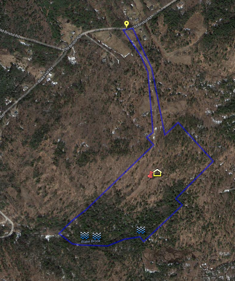
SATELLITE IMAGE OF 90 ACRES:
The following is a fairly accurate overlay of the 90 acres on a satellite image. CLICK HERE for access to an interactive Google map.
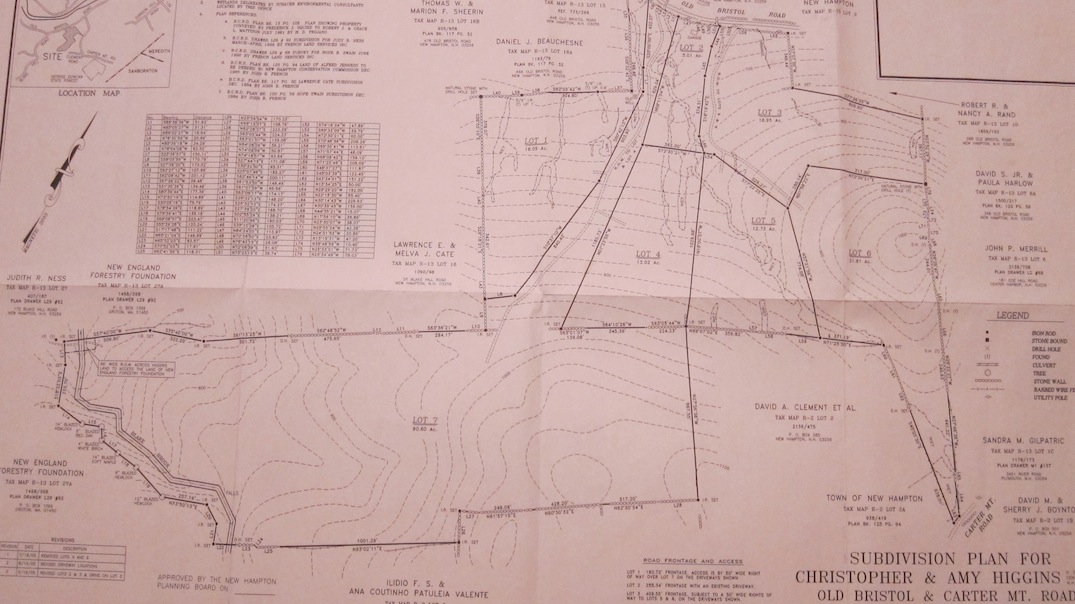
PLOT PLAN MAP:
The following is a reduced image of the actual plot plan. The 90 acres is Lot 7. CLICK HERE for a full-sized high-resolution image that is very readable. Corner pins are all in place at the time this was loaded.